
Introduction
Have you ever spotted one of these little doors when walking around Worcester?
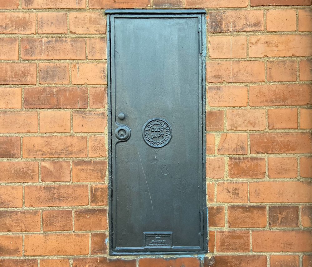
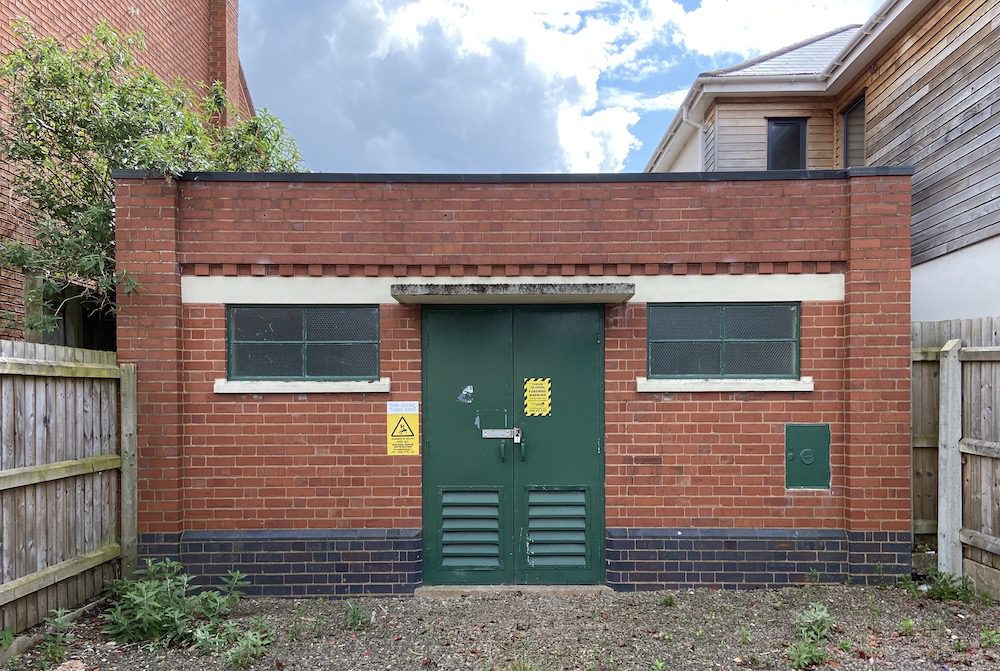
Most of these doors are attached to the city’s electricity substations. Their quiet and unassuming existence is a reminder of the early days when Worcester’s municipal corporation was at the helm of providing the city with electrical power. We estimate these doors, manufactured by Hardy & Padmore, would have been cast between 1902, after the construction of the first generating station on Hylton Road, and 1947 when electricity generation and distribution was nationalised.
Objective
The following map aims to contain the location of all substations and generating stations detailed in the diagram below.
It will become a digital catalogue documenting the architecture of Worcester’s historic electricity distribution system and help you visualise how it covers the city.
Historic buildings in public infrastructures are easily demolished as time progresses. It is important to highlight their architectural merit so we may preserve the story of how these crucial resources came into existence.
Map
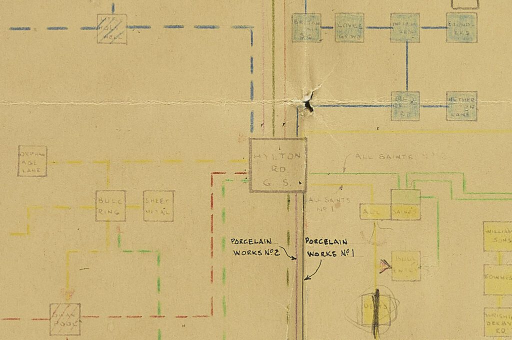
Worcester electricity system diagram
The following image is an excerpt of Worcester’s EHT system diagram. It details the names of all electricity transformers as they were in 1957. A high resolution of the diagram is available here.
Architecture overview
Worcester’s historic substations share a collection of designs that are used repeatedly across multiple locations.
Our favourite design is the brick cubes with castellated corbels.
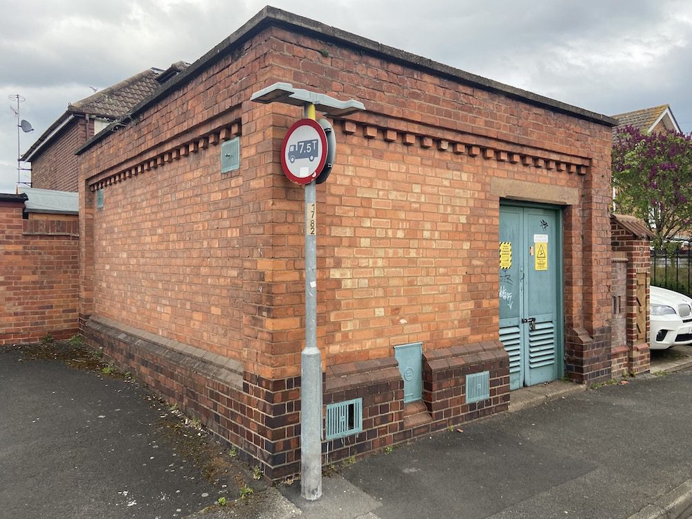
Many substations resemble sheds and huts.
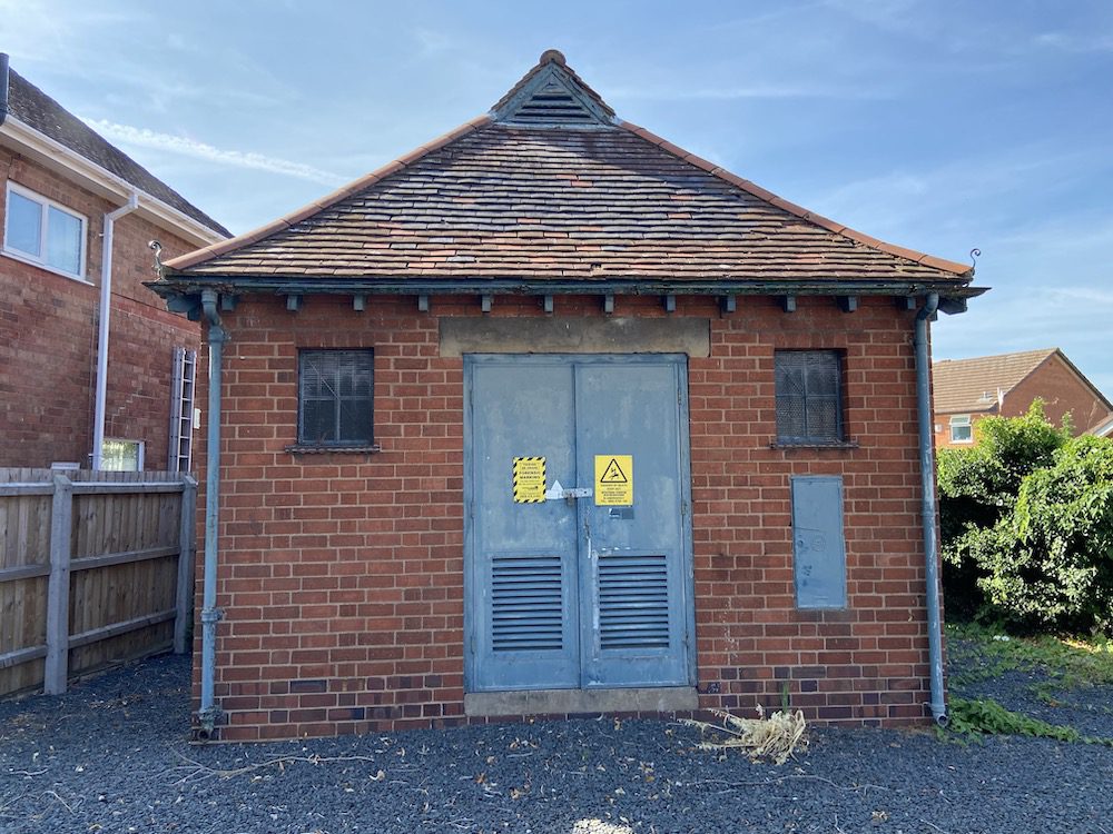
Others adopt art deco features.
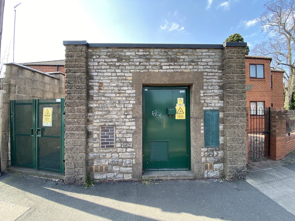
The design of some substations is unique. For example, Astwood Road uses stonework that matches the walls of the adjacent cemetery.
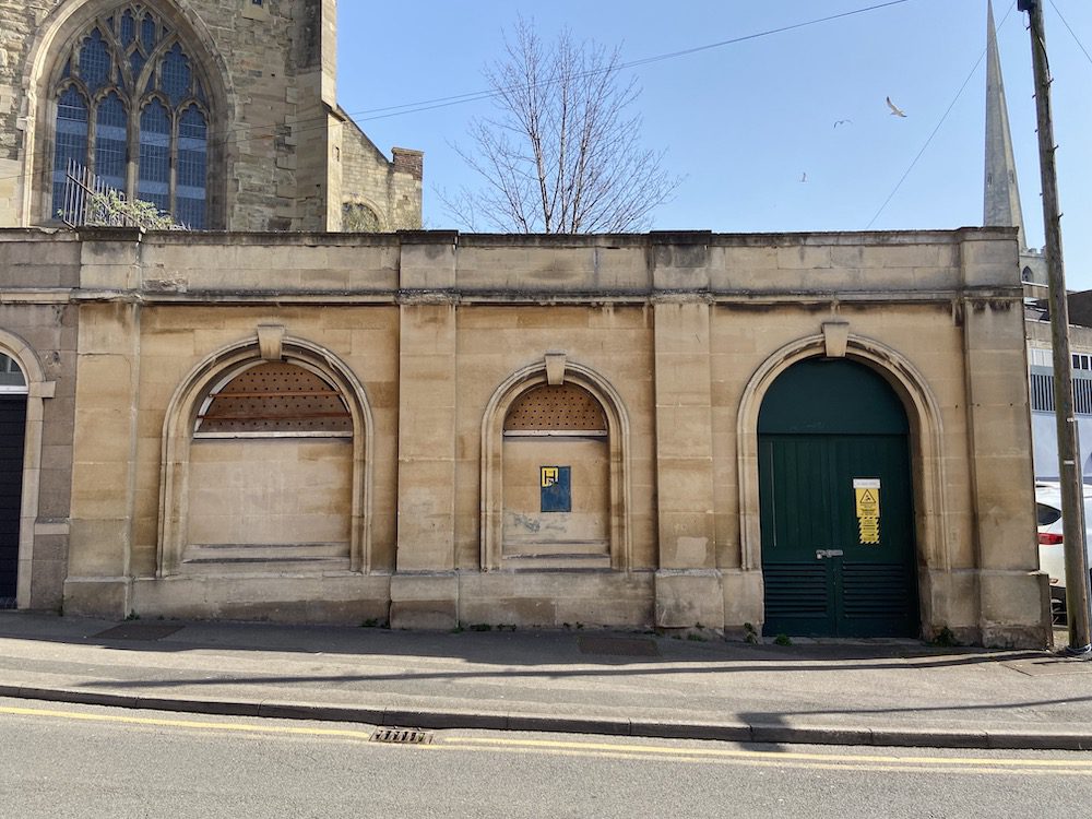
All Saint’s station is located below the church of the same name and resembles a vault or crypt.
This collection of designs is an unrepresented part of Worcester’s charm. It should be given recognition and celebrated as an integral part of the city’s modern development.